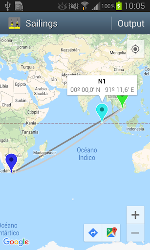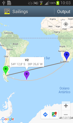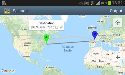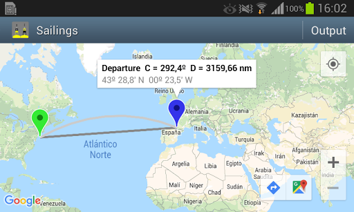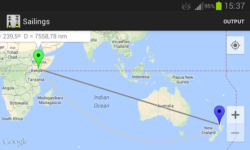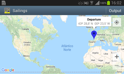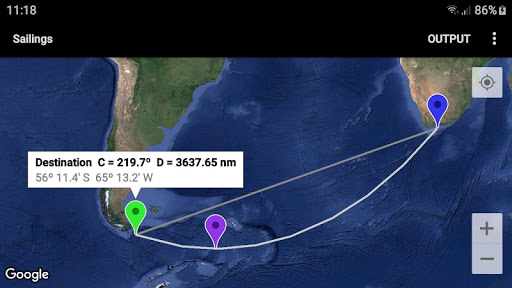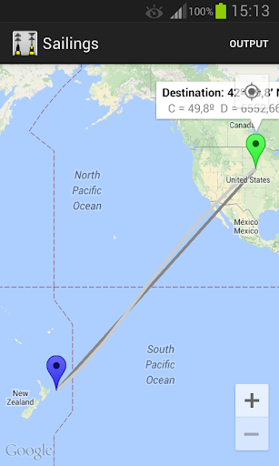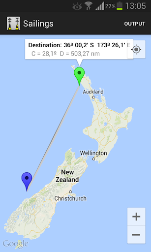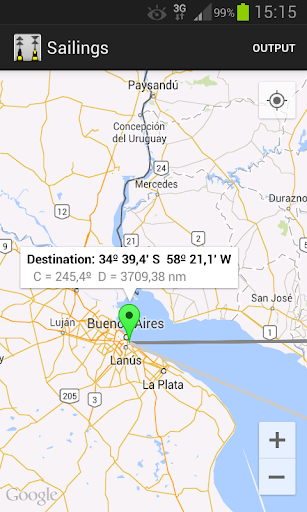
Sailing is a method of solving the various problems involving course, distance, difference of latitude, difference of longitude, and departure. The app plots on a Google map the route between a departure and a destination point, using the following sailings: - Rhumb line (loxodromic). - Great Circle (orthodromic). And calculates: - Course & distance. - Waypoints of the great circle route. - Save between Rhumb line and Great Circle route. - Nodes and vertices of the Great Circle. It also plots the entire Great Circle. OPERATION 1 - Long click 1: adds the departure point 2 - Long click 2: adds the destination point and plots RL & GC 3 - Tap the Mark to see the information 4- [Output] - GC course C and distance D - Save between RL & GC - Waypoints of the GC route - Vertices and nodes of the GC WARNING not for live navigation. Sailings App is a useful calculator for navigation. User interface: - Zoom buttons +/- - Map types: normal, terrain and satellite - GPS location. (\Location\ App permission must be allowed. Switch on you GPS, and then automatic location detection is possible). See App help for more details.